Continuation of project of construction of ring road around Belgrade – Environmental impact assessment to be done for sector C from Bubanj Potok to Pancevo
Source: eKapija
 Wednesday, 17.07.2024.
 10:48
10:48
 Wednesday, 17.07.2024.
 10:48
10:48
(Photo: Saobraćajni institut CIP)

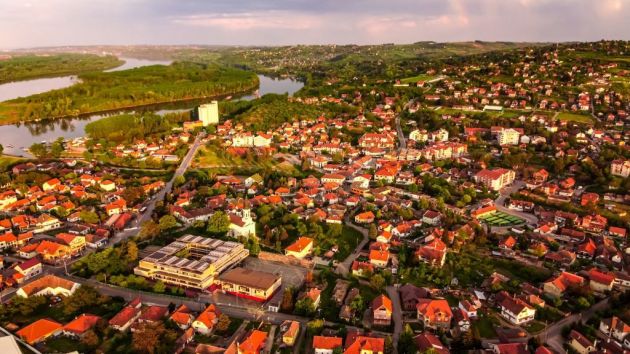
The border of the spatial plan roughly encompasses parts of the territories of the city of Belgrade, including the urban municipalities of Grocka, Vozdovac, Rakovica and Palilula, as well as parts of the city of Pancevo. In concrete terms, in the territory of the urban municipality of Grocka, the plan encompasses parts of the cadaster municipalities of Bolec, Vinca, Kaludjerica, Ritopek, Lestane and Vrcin. In the territory of Vozdovac, it includes the cadaster municipalities of Beli Potok, Zuce, Jajinci and Rakovica Selo, whereas in the municipality of Rakovica, it encompasses a part of the cadaster municipality of Resnik. In Palila, the plan encompasses a part of the cadaster municipality of Krnjaca, whereas in Pancevo, it includes the cadaster municipalities of Ivanovo, Jabuka, Pancevo, Starcevo and Vojlovica.
The funds for the preparation of the Strategic Assessment, as said in the decision, are provided by the PE Roads of Serbia.
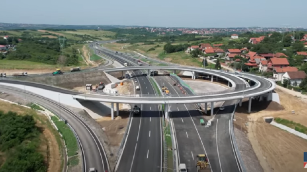
As announced earlier, the building permit for Sector C of the Ring Road around Belgrade, from Bubanj Potok to Bolec, will be issued in October.
Let us remind that the part of the ring road around Belgrade from Strazevica to Bubanj Potok opened for traffic in late June last year.
The competent minister Goran Vesic stated at the time that the agreement on the designing of the extension of the ring road from Bubanj Potok to Pancevo, 31 kilometers long, had been signed with the Institute of Transportation CIP. Vesic also said at the time that, upon the completion of Sector C, he would issue an order for the designing of Sector D, a connection of Pancevo with the new bridge near Batajnica, whereby Pancevo would get another bypass route to the highway to Novi Sad.
I. Z.
Companies:
 Ministarstvo građevinarstva, saobraćaja i infrastrukture Republike Srbije
 Vlada Republike Srbije
 JP Putevi Srbije Beograd
 Saobraćajni institut CIP d.o.o. Beograd
Agencija za prostorno planiranje i urbanizam Republike Srbije
Tags:
Ministry of Transport
Government of Serbia
PE Roads of Serbia
Institute of Transportation CIP
Spatial and Urban Planning Agency of Serbia
ring road around Belgrade
sector C of the ring road around Belgrade
ring road around Belgrade and Pančevo
Boleč
Vinča
Kaluđerica
Ritopek
Leštane
Vrčin
Beli Potok
Zuce
Jajinci
Rakovica selo
Ivanovo
Jabuka
Pančevo
Starčevo
Vojlovica
Strategic Assessment of the Environmental Impact of the Spatial Plan of the Special Purpose Area of the Highway E70 Ring Road around Belgrade and Pancevo Sector C and the New Beli Potok Vinca Pancevo Bypass Railroad with the Road Rail Bridge across the Danube near Vinca
Comments
Your comment
Most Important News
Full information is available only to commercial users-subscribers and it is necessary to log in.
Follow the news, tenders, grants, legal regulations and reports on our portal.
Registracija na eKapiji vam omogućava pristup potpunim informacijama i dnevnom biltenu
Naš dnevni ekonomski bilten će stizati na vašu mejl adresu krajem svakog radnog dana. Bilteni su personalizovani prema interesovanjima svakog korisnika zasebno,
uz konsultacije sa našim ekspertima.


 Izdanje Srbija
 Serbische Ausgabe
 Izdanje BiH
 Izdanje Crna Gora


 News
News


